Making environmental and geospatial data analysis-ready through a unified spatial data platform.
Cecil is a geospatial intelligence platform that helps organizations access, analyze, and operationalize environmental and spatial datasets through a single API and software development platform. The company standardizes complex geospatial information from dozens of providers, making it easier for businesses, researchers, financial institutions, and sustainability teams to evaluate environmental risks, biodiversity impacts, land use change, and climate-related exposures.
The platform addresses one of the biggest challenges in environmental intelligence: fragmented data. Spatial datasets often come from different providers, use different formats, coordinate systems, metadata structures, and licensing agreements, making analysis difficult and time-consuming. Cecil solves this by curating, validating, and standardizing datasets into consistent, analysis-ready formats.
Through its data marketplace, users can access more than 40 commercial and open datasets covering deforestation, biodiversity, protected areas, land use change, climate risks, soil moisture, forest integrity, and supply chain risk factors. The platform supports use cases ranging from EUDR compliance and supply chain due diligence to TNFD reporting, conservation planning, carbon project development, and infrastructure siting.
Designed for developers, scientists, sustainability professionals, and enterprise data teams, Cecil integrates directly into existing workflows through APIs, SDKs, GIS platforms, and analytics tools. By reducing the complexity of environmental data analysis, the company helps organizations make more informed decisions about nature, climate, and land use.
Cecil enables better environmental decision-making by making high-quality geospatial and environmental datasets more accessible and usable. The platform helps organizations understand the impacts of their operations, investments, and supply chains on forests, biodiversity, climate, and natural ecosystems.
By reducing barriers to environmental intelligence, Cecil supports more transparent sustainability reporting, stronger conservation outcomes, improved climate risk assessment, and more effective nature-positive investment decisions.
* Access to 40+ environmental and geospatial datasets
* Supports analysis across billions of hectares
* Standardized licensing through a single agreement
* Covers biodiversity, forests, climate risk, land use, and supply chain impacts
* Integrates with existing GIS and analytics workflows
* Designed for enterprise-scale environmental analysis
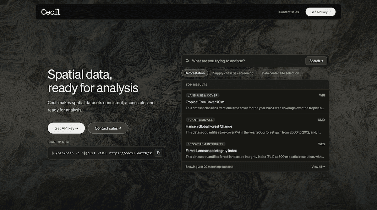
Photo credit: Cecil
Unified Environmental Data
Access dozens of environmental and geospatial datasets through a single platform and agreement.
Analysis-Ready Formats
Standardized metadata, projections, and schemas eliminate complex data preparation work.
Developer Friendly
APIs and SDKs enable integration into existing scientific, GIS, and enterprise workflows.
Science-Based Decision Making
Datasets are curated, validated, and documented by scientists to support defensible environmental analysis.